Cachi
Home Details of Cachi
Home Details of Cachi

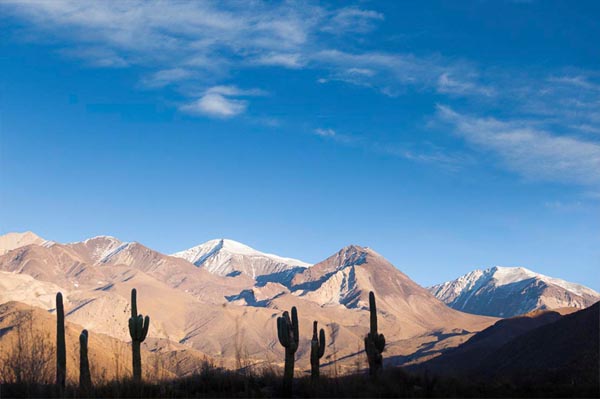
Out of town going through Cerrillos, El Carril, Pulares, The Escoipe Gorge , Cuesta del Obispo. On top of this hill is a stone of an old flour mill that still nobody remembers as I did to be anchored there. This high point is about 3348 meters sea level. Represents a door between two valleys: the Lerma (lower and warmer) and Calchaquies (between strands foothills, about 1200 meters higher and drier). Straight through the Tin Tin Route, Cardones National Park, Payogasta we reach the quaint Cachi on the banks of the Rio Calchaqui to 2210 m at the foot of the Nevado de Cachi. The picturesque town is part of Calchaqui Valley, being surrounded by hills and mountains belonging to the foothills of the Andes Mountain chain. It has a central plaza surrounded by cobbled streets and houses with stone foundations, walls of "adobe" lime and sand coated white, wrought iron railings, roofs or covers cane with cactus mud. High stone and flagstone paths can be seen. Archaeological Museum and parish church is also at sight.